The Department teaches courses within many of the Faculty of Forestry and Wood Technology’s study programmes. Our focus is central to the following programmes:
Bachelor Programmes
- Arboriculture (in Czech)
- Forest (in Czech)
- Landscaping (in Czech)
- Wood-based Construction (in Czech)
Master’s programmes
- European forestry (in English)
- Landscape Engineering (in Czech)
- Forest Engineering (in Czech)
- Furniture Engineering (in Czech)
Doctoral programmes
- Forest Management (in Czech)
- Forest Management (in English)
Teaching is modern and underpinned by science, practice and current technology
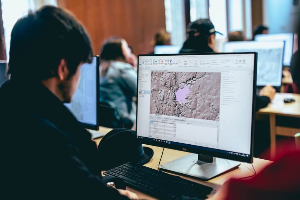
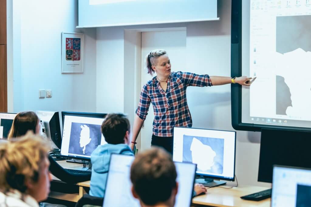
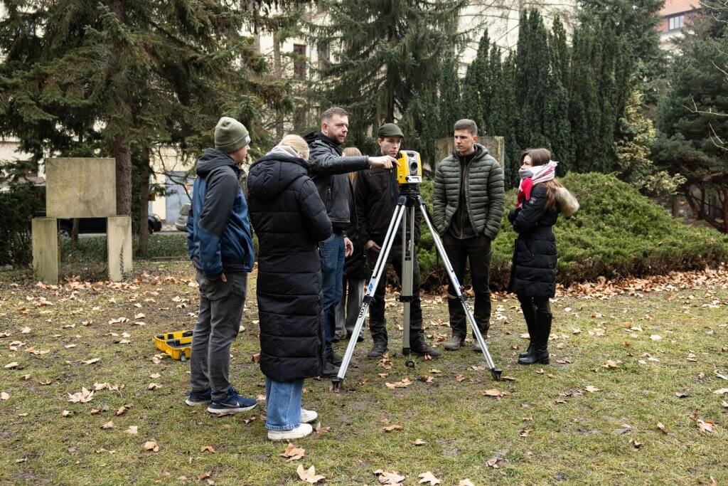
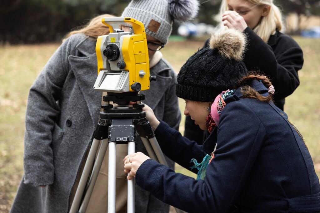
- The Department has two lecture halls, a specialised geoinformatics computer room, a specialised geodetic classroom, a laboratory for working with analogue and digital spatial data and a former biometric laboratory.
- The Department is fully equipped to collect, process and analyse spatial data and develop precision forestry systems and forest health survey methods, especially non-contact methods.
- Our basic equipment comprises a fleet of drones with thermal and multispectral imaging systems, complete geodetic stations, GPS and laser scanning systems and sets of instruments for dendrometric measurements (e.g. diameter gauges, range finders, altimeters and planimeters).
Selection of instrumentation available:
- DJI Mavic 3E and DJI Matrice 600 Pro (hexacopter) with Flir tau2 thermal cameras
- senseFly eBee Plus fixed-wing drone with a Parrot Sequoia multispectral camera
- Faro Focus 3D terrestrial laser scanner and GeoSLAM ZEB Horizon laser scanner; Topcon RL H3C rotating laser
- Topcon AT G4 levelling instruments
- Trimble M3 total station
- GNSS assemblies Trimble R12i, Topcon Hiper Pro, Trimble GeoXH
- FieldMap LT kits
- Haglöf xScape system
- Digital dendrometric kit, which includes a MANTAX DIGITECH laser digital diameter meter and a Vertex III Laser digital altimeter
- Vertex IV Geo ultrasonic and laser altimeters, Nikon Forestry Pro II, TruPulse
- Haglöf Digitech Professional II digital diameter gauge
- ESRI Unlimited Site License (ArcGIS), Agisoft PhotoScan, LAStools (Rapidlasso, GmbH), Fusion/LDV, Statistica, R, QC Expert, Idrisi (Clark Labs), Faro Scene (Faro), GeoSLAM Connect (Faro), MicroStation (Bentley), Kokeš (GEPRO s. r.o.), Atlas (Atlas s.r.o.), Groma, Trimble Business Centre (Trimble), eCognition Developer (Trimble), Surfer (Golden Software), SIBYLA Triquetra (TUZVO), Statistica (Tibco Software), and many others.