- The primary objective of the Department’s research activities, which cover a wide range of disciplines, is to improve process coordination and management at different spatial and temporal scales of forest planning using geoinformation technologies to support sustainable economic, environmental and socially acceptable decision-making processes in the forestry sector.
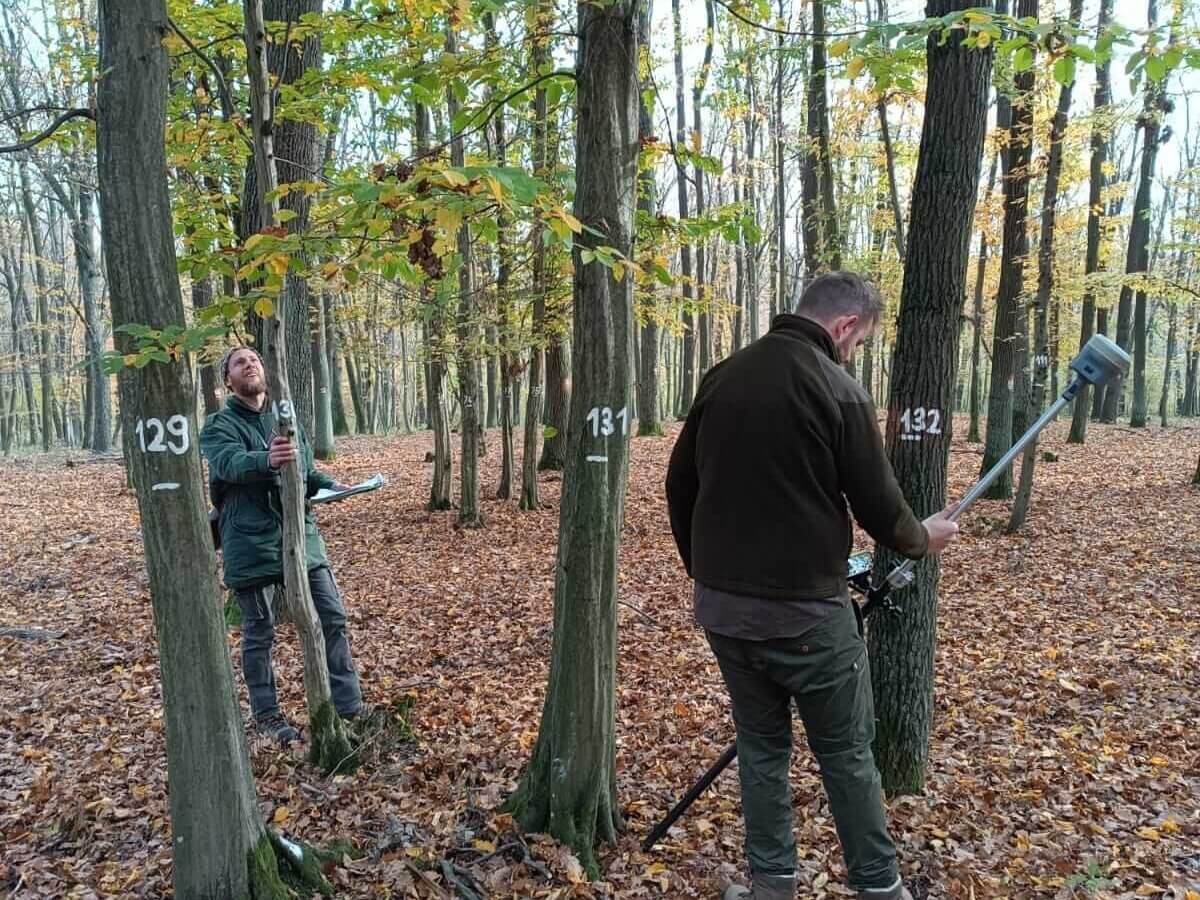
- Research in ‘biometrics and forest modelling’ focuses on methods for optimising the acquisition of biometric data and its advanced analysis and use, particularly as regards forest ecosystem growth process models using growth simulators. Recently, we developed several dendrometric models for preparatory or introduced tree species.
- A key focus of our research in ‘dendrometry, forest growth science and management’ over recent years has been the development of sustainable forest models and models based on non-pastoral forms of management, including forests with a coppice component, i.e. low and medium forests. Our research focuses primarily on the stability and production of such forest types, the design and optimisation of data collection methods for forestry planning, studies on responses to educational interventions, responses to stress in the form of reduced rainfall and the impact of such management models on environmental biodiversity.
- Last but not least, we examine the potential impact of global climate change on forest ecosystems in the Czech Republic and the development of easily implementable adaptation strategies to climate change across the range of natural conditions found in the Czech Republic.
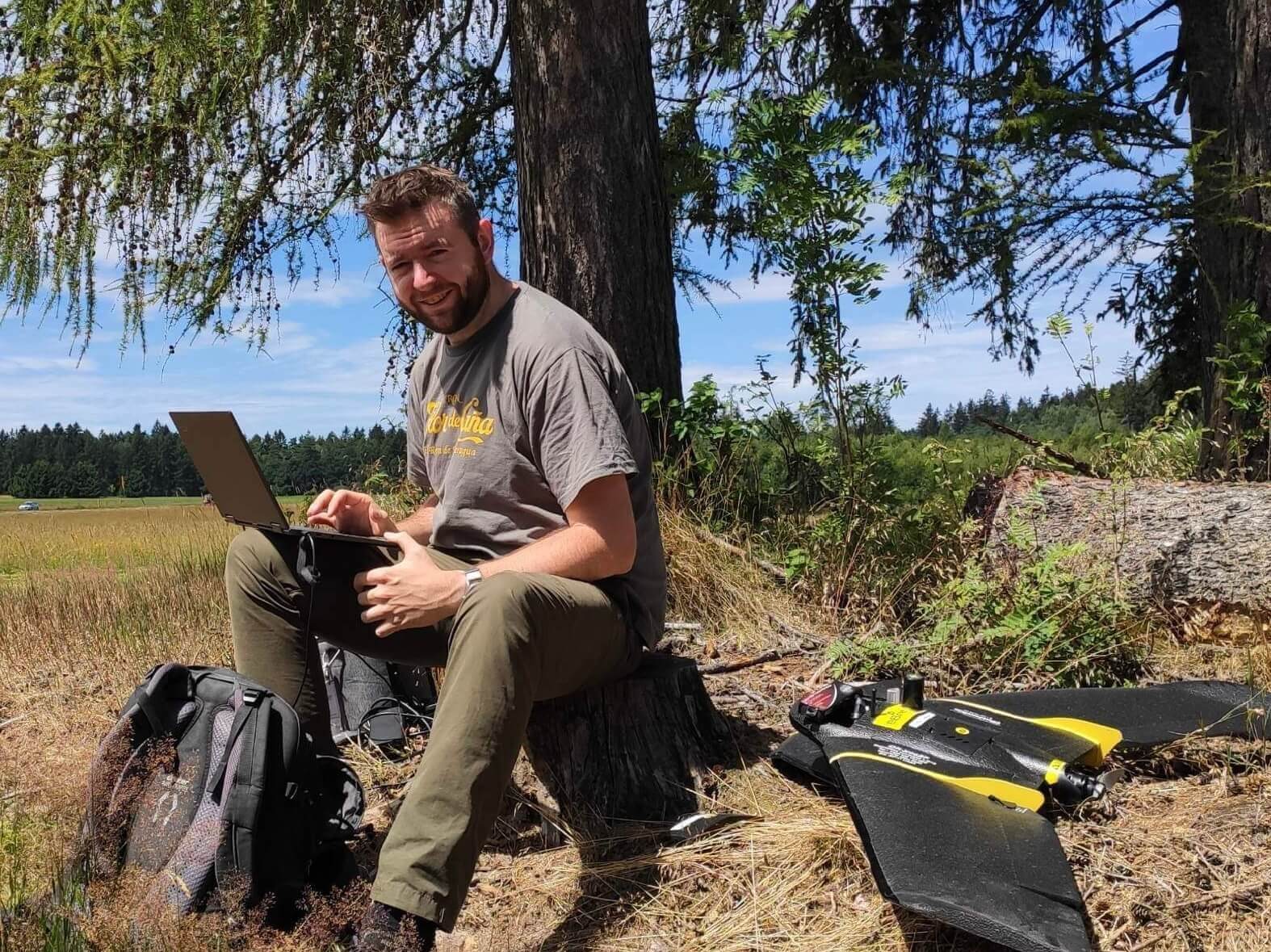
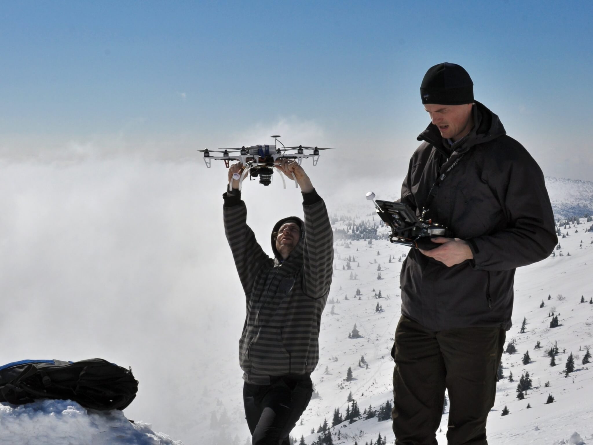
- Our research in geodesy, GIS and remote sensing focuses on advanced methods of data collection in forest stands and the wider landscape using ground and airborne laser scanning, satellite imagery and unmanned aerial vehicles. Subjects include the use of unmanned aerial systems, photogrammetry and laser scanning in forest inventory, the use of spectroscopic data for vegetation health analysis and classification of tree species, mapping of relief and landscape change and the creation of 3D models of linear structures and small water features using terrestrial laser scanning and ground-based photogrammetry. Techniques for the detection of different objects using machine learning and artificial intelligence methods are also being developed.
Our work has resulted in prestigious projects, publications and other outputs:
Projects
Current
- Restoration of coppice-with-standards management in the special purpose forests, GS LČR; 2024-2026
- Adaptation of forestry for sustainable use of natural resources, NAZV MZe ČR; 2021-2025
- The confluence of the Morava and the Dyje – present and future, SS07010025, TAČR; 2024-2026
- Updating the Forestry-Typological Classification System in the Czech Republic, including determining the expected development of forest vegetation stages with an evaluation of the influence of meso and microclimate with regard to ongoing climate changes and their predictions, QL24020351, NAZV; 2024-2026
Completed
- Population mapping and inventory of Boswellia sacra in Dhofar Mountains, Oman, ESO (Environment Society Oman), UK Embassy in Oman; 2023-2025
- Sustainable Landscape through Integrated Management (SLIM): Baseline analysis of the data environment in Zambia in the context of the application of integrated landscape management, Zambia, CDA; 2024
- Permanent Sample Plot-Based Inventory in the Context of the Czech State Forests, GS LČR; 2023-2024
- Man and Biosphere Programme, UNESCO Earth Network; 2023-2024
- Conservation of the endangered endemic Boswellia trees on Socotra Island (Yemen), FRANKLINIA; 2021-2024
- Rationalization of Forest Management Plan Renewal in Calamity-Affected Forest Management Units, GA Forests of the Czech Republic, GS LČR; 2021–2022
- FORRISK: Cross-border Management of Forestry Risks, ATCZ251, Interreg; 2021-2022
- Mapping the cultural heritage of human activities in forests, DG20P02OVV017, NAKI II MK; 2020-2022
- Influence of forest stands species composition and structure on the microclimate and landscape hydrology, NAZV – ZEMĚ; 2018-2022
- Holistic Management of Emerging Pests and Diseases (HOMED), H2020, 771271; 2018-2022
- MySustainableForest – Operational sustainable forestry with satellite-based remote sensing, 776045, Horizon 2020, 2017-2020
- Support to the Integrated Programme for the Conservation and Sustainable Development of the Socotra Archipelago (United Nations Environmental Programme – Global Environment Facility), UNEP-GEF (GEF #5347); 2016-2019
- Aerial Imaging of Selected Sites Using an Unmanned Aerial Vehicle and Development of a Methodology for Classifying Forest Damage Using Remote Sensing Techniques, Vysočina Region – Contract Research; 2017
- Coppice management in the Křivoklátsko Forestry Park, GS LČR; 2017-2019
- Coppice as biological and production alternative for future in the Czech Republic, LD15117, COST MŠMT ČR; 2016-2017
- Frameworks and possibilities of forest adaptation measures and strategies connected with Climate change, – FRAMEADAPT, EHP-CZ02-OV-1-019-201, Norwegian funds; 2015-2016
- Creation and development of multidisciplinary team on the basis of landscape ecology, – LANDTEAM, EE2.3.20.0004, MŠMT; 2011-2013
Publications
Go to the University Information System.
Collaborations:
Our institutional and business partners can listed in the ‘About us’ section.
Doctoral studies
An integral part of the Department’s activities is to further develop and expand the knowledge base of Doctoral students in the broad field of science and research.