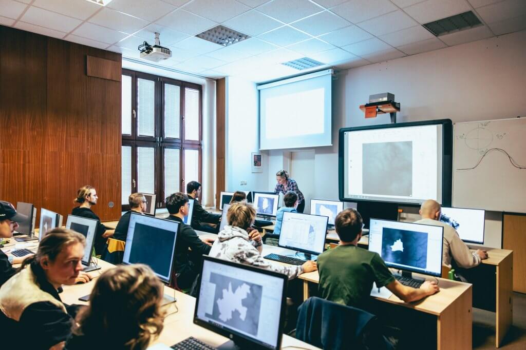
Departmental Description – what we do
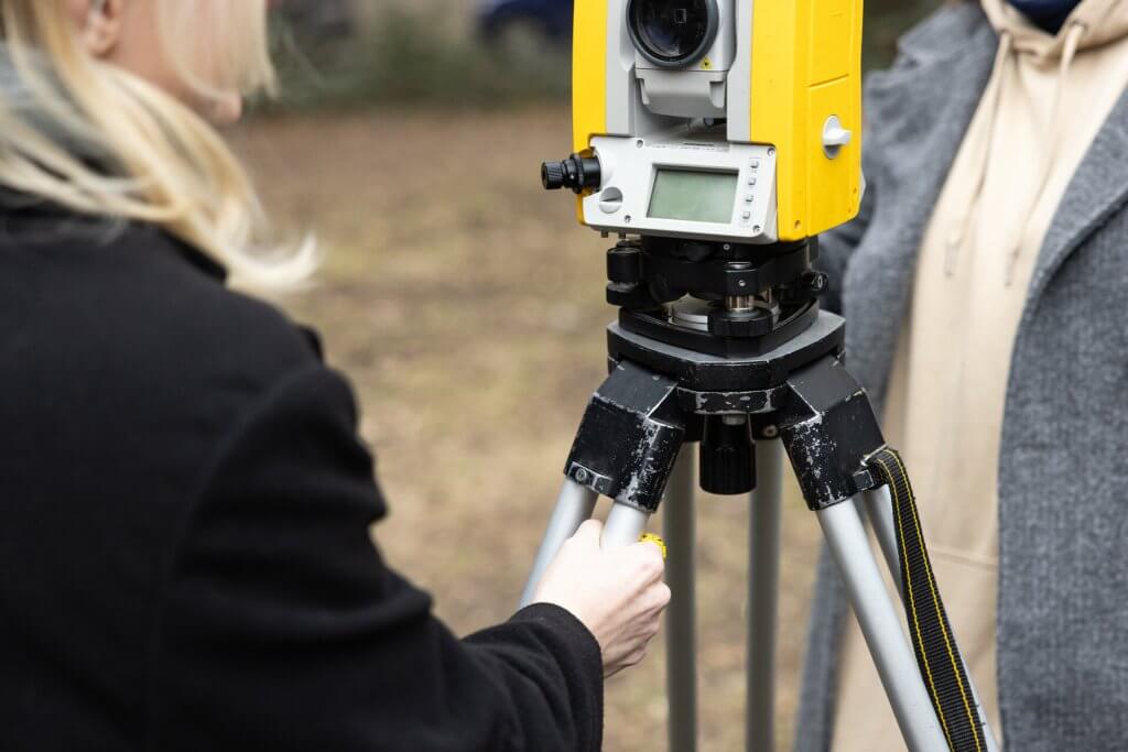
Geoengineering and land-use planning documentation
- Surveying activities in relation to planning documentation
- Use of highly accurate digital terrain models for analysis and planning
- GIS applications for land suitability mapping Spatial decision support
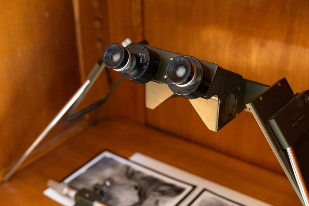
Classical and non-contact methods of forest survey
- Dendrometry surveys
- Method optimisation in relation to forest shape and character
- Scalable monitoring
- Use of airborne laser scanning and unmanned aerial photography
- Application of remote sensing methods
Differentiated (variant) adaptive forest management
- Use of participatory decision-making systems
- Multi-agent modelling and simulation
- General and specific sustainable management strategies
- Coordination and management of processes at different spatiotemporal scales
- Scale-dependent modelling
- Mapping support for variant planning methodologies
Biometric data processing, natural and forest production value
- Modelling of forest growth and development for forecasting
- Use of growth simulators for evaluation and assessment of management strategies
- Application of ecophysiological principles for production, stability and security
- Calculation of production value
Background – where we work
- Building B on the University campus – The Department’s offices and classrooms are located on the 3rd floor and in the left wing of the ground floor.

Collaboration – we are not alone
Companies and institutions
- Agentura ochrany přírody a krajiny ČR
- Lesy města Brna, a.s.
- LESPROJEKT BRNO, a.s.
- Lesy ČR, s.p.
- Městské lesy Volary, s.r.o.
- Papierholz Austria, GmbH
- Národní lesnický institut
- Kraj Vysočina
- Výzkumný ústav Silva Taroucy pro krajinu a okrasné zahradnictví, v.v.i.
- CHKO Moravský kras
- Krkonošský národní park
- Biosférická rezervace Dolní Morava
- Ústav geoniky AV ČR
- TopGIS s.r.o.
- Lesnický park Křivoklátsko
- PRIMIS spol. s r. o.
List of international partners
- MONDI, Europe & International Division Vienna (Rakousko)
- Norwegian University of Life Sciences (Ås Norsko)
- Clark Labs, Clark University (Worcester MA, USA)
- Rovaniemi University of Applied Sciences (Finsko)
- University of Agriculture in Krakow (Polsko)
- University in Salzburg (Rakousko)
- Technická univerzita vo Zvolene (Slovensko)
- Národné lesnícke centrum (Slovensko)
- Environmental Systems Research Institute (Redlands CA, USA)
- Joint Research Centre (Ispra, Italy)
- GMV Aerospace & Defence SAU (Madrid, Španělsko)
- Fora Forest Technologies S.L.L. (Španělsko)
- CREAF – Ecological and Forestry Applications Research Centre (Španělsko)
Departmental staff – who we are
Academic staff – Associate Professor – Department of Forest Management and Applied Geoinformatics
Head of department – Department of Forest Management and Applied Geoinformatics
Rector – Mendel University in Brno
External Instructor – Department of Informatics
Head of department – Department of Forest Management and Applied Geoinformatics
Rector – Mendel University in Brno
External Instructor – Department of Informatics
ÚHÚLAG FFWT, Zemědělská 3, 61300 Brno (Černá Pole)
Office: A2.08
Ústav hospodářské úpravy lesů a aplikované geoinformatiky
Lesnická a dřevařská fakulta MENDELU
Zemědělská 3, 613 00 Brno
List of employees
Department of Forest Management and Applied Geoinformatics
Staff
-
doc. Ing. Zdeněk Adamec, Ph.D.
Academic staff – Associate Professor
Office: B3.48
Phone: +420 545 134 143
E-mail: zdenek.adamec@mendelu.cz
-
Ing. Miloš Cibulka, Ph.D.
Assistant Professor
Office: B1.64
Phone: +420 545 134 019
E-mail: milos.cibulka@mendelu.cz
-
Simona Dohnalová
Organization worker
Office: B1.72
Phone: +420 545 134 015
E-mail: simona.dohnalova@mendelu.cz
-
doc. Dr. Ing. Jan Kadavý
Academic staff – Associate Professor
Office: B3.09
Phone: +420 545 134 145
E-mail: jan.kadavy@mendelu.cz
-
doc. Ing. Martin Klimánek, Ph.D.
Academic staff – Associate Professor
Office: A2.08
Phone: +420 545 135 004
E-mail: martin.klimanek@mendelu.cz
-
Ing. Michal Kneifl, Ph.D.
Assistant Professor
Office: B3.08
Phone: +420 545 134 146
E-mail: michal.kneifl@mendelu.cz
-
Ing. Dominika Krausková
Akademický pracovník – lektor
Office: B1.61
Phone: +420 545 134 016
E-mail: dominika.krauskova@mendelu.cz
-
Tomáš Kučera
Technik informačních technologií
Office: B1.58
Phone: +420 545 134 018
E-mail: tomas.kucera@mendelu.cz
-
doc. Ing. Tomáš Mikita, Ph.D.
Academic staff – Associate Professor
Office: B1.66
Phone: +420 545 134 021
E-mail: tomas.mikita@mendelu.cz
-
Ing. Zdeněk Patočka, Ph.D.
Assistant Professor
Office: B1.68
Phone: +420 545 134 022
E-mail: zdenek.patocka@mendelu.cz
-
Ing. Kristýna Šleglová, Ph.D.
Assistant Professor
Office: B3.07
Phone: +420 545 134 147
E-mail: kristyna.sleglova@mendelu.cz
-
Ing. Barbora Uherková, Ph.D.
Assistant Professor
Office: B3.07
Phone: +420 545 134 147
E-mail: barbora.uherkova@mendelu.cz
-
Ing. Petr Vahalík, Ph.D.
Assistant Professor
Office: B1.62
Phone: +420 545 134 023
E-mail: petr.vahalik@mendelu.cz
-
Ing. Nikola Žižlavská
Akademický pracovník – lektor
Office: B1.61
Phone: +420 545 134 016
E-mail: nikola.zizlavska@mendelu.cz
History
- The current department draws its foundations from the original departments of the University of Agriculture in Brno (1919): Czech Forestry Institute (established 1920, independent from 1951) and the Geodetic Institute (established 1921).
- Between 1986 and 1992, the then Department of Geodesy and Photogrammetry and the Department of Forest Management were merged into the Department of Forest Management and Geodesy (headed by Assoc. Prof. Polák).
- In 2005, the Department of Geodesy and Photogrammetry was renamed to the Department of Geoinformation Technologies.
- In 2014, the departments merged again to form the current Department of Forest Management and Applied Geoinformatics.